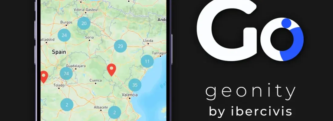
Geonity is a free citizen science platform developed by the Ibercivis Foundation. It allows researchers, organisations, educators, public bodies and community groups to design their own data-collection projects and to participate in projects led by others. Project owners define a topic, a geographic scope and a custom form with text, numeric, photo or multiple-choice fields. Participants submit geolocated observations from the web or from the Android and iOS apps; each entry carries location, date and the project-specific fields. Datasets can be filtered by contributor or date and exported as CSV. The platform is available in six languages (Spanish, English, Portuguese, Italian, French and German) and supports multilingual content in projects and forms. It includes organisations and team management, role assignment, public/private project settings, private data mode and location fuzzing to protect participants. Use is free of charge for individuals, universities, organisations and public administrations.
Publish information
| Authors: | M. Sevilla-Callejo; F. Sanz; G. Gil; A. Iguarbe; |
| Publisher: | Ibercivis Foundation |
| Year of publication: | 2026 |